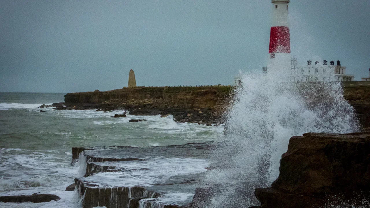
The Met Office monitoring window for this forecast opens at 00:00 BST on 1 September 2026. Its official UK warnings service displays each warning’s colour, affected area and validity period, making it the decisive public record. The forecast closes at 23:59 BST on 31 August, before September begins, but a warning issued earlier will count if its validity overlaps the month.
September warning threshold at a glance
- Question: Will an amber or red Met Office warning be valid anywhere in the UK during September?
- Entry deadline: 23:59 BST on 31 August 2026.
- YES: At least one qualifying warning overlaps any part of 1–30 September.
- NO: The month ends without a qualifying amber or red warning.
- Deciding source: The Met Office UK warnings service.
Routine forecasts do not qualify. Neither does a yellow warning, even if it describes disruptive rain, wind, thunderstorms, snow, ice, fog, lightning or extreme heat. The threshold is the colour officially assigned by the Met Office, not an informal judgement about how severe the weather appears.
Amber and red warnings reflect impact and likelihood
The Met Office’s warning guidance describes an impact-based system operated through the National Severe Weather Warning Service. Warning colour is determined by a combination of the likelihood of an event and the level of disruption or harm it could cause.
That distinction matters because colour is not a simple measure of rainfall totals, wind speed or temperature. A particularly intense weather event may affect an isolated or less vulnerable area, while a less exceptional event could create greater consequences if it reaches busy transport routes, densely populated communities or locations already vulnerable to flooding.
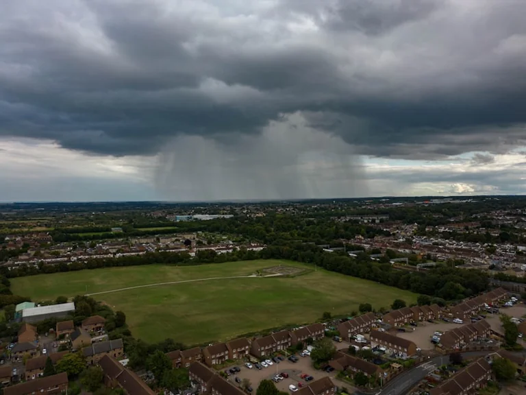
Yellow warnings cover a broad range of situations and may still affect daily plans. Amber indicates a higher combination of expected impact and likelihood, with an increased prospect of travel disruption, property effects or danger. Red is the highest warning level and signals potentially exceptional impacts with a risk to life and major disruption.
The forecast therefore cannot be resolved by reading a long-range outlook, viewing a weather model or observing bad conditions locally. Only an official amber or red classification meets the test.
Travel disruption could extend beyond the warned area
An amber or red warning would identify a defined area and validity period, but its practical effects could spread through national transport networks. A warning covering one region can affect trains, flights and road journeys that begin or end elsewhere.
Rail, roads and flights
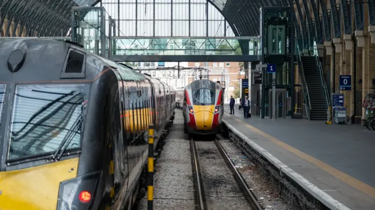
For rail passengers, heavy rain can flood tracks, destabilise earthworks and cause signalling problems. Strong winds may bring trees or debris onto lines, while operators can impose speed restrictions as a precaution. Delays may continue after the warning expires while inspections and repairs take place.
Road users could encounter surface water, fallen branches, reduced visibility or closures. Bridges and exposed routes are particularly susceptible to high winds. Flooding can also make a familiar road unsafe before its depth or current is obvious, so closure signs and emergency instructions should take priority over a planned route.
Flights may be delayed or cancelled because of wind, lightning, poor visibility or disruption affecting aircraft and crews elsewhere in the network. Travellers with September bookings should check both the Met Office warning map and live information from their operator, airport or airline before departure.
A qualifying warning does not guarantee that every service in its area will be disrupted. It identifies an elevated risk, while individual operators decide whether timetables, routes or safety procedures need to change.
Homes, power supplies and outdoor work may need preparation
Flooding and power disruption are among the household risks associated with severe weather. Preparations should match the warning details and local circumstances rather than the colour alone.
Useful steps may include:
- Charging phones and essential battery-powered equipment before the warning period.
- Securing garden furniture, bins and other loose outdoor items when strong winds are expected.
- Checking flood information and moving vulnerable possessions when a property has known exposure.
- Keeping torches accessible and avoiding candles during a power cut where possible.
- Reviewing travel and care arrangements for people who rely on electricity or mobility support.
People working outdoors should follow employer risk assessments and any instructions from public authorities. Construction, delivery, agricultural and maintenance work can become hazardous in high winds, lightning, extreme heat or floodwater. An amber warning may justify changes to timing or equipment even when conditions appear manageable at the start of a shift.
The warning area should not be treated as a perfectly sharp boundary. Weather can vary over short distances, and conditions close to the marked area may still require attention. Conversely, being inside an amber or red zone does not mean every location will experience the worst anticipated impact.
The YES and NO outcomes are narrowly defined
The outcome is YES if the Met Office publishes at least one warning officially classified as amber or red and its stated validity interval overlaps any part of 1–30 September 2026 for any UK location. England, Scotland, Wales and Northern Ireland are all within scope.
A warning can qualify even if it is published on 31 August or earlier. For example, an amber warning issued on 31 August and valid from 18:00 on 1 September to 06:00 on 2 September would resolve the question as YES.
The outcome is NO only after September ends if no amber or red warning has met those conditions. These items do not count:
- Yellow warnings, regardless of the disruption described.
- Routine forecasts, weather maps or outlooks without an official qualifying warning.
- Warnings valid entirely before 1 September or entirely after 30 September.
- Alerts from broadcasters, transport operators or local authorities that are not Met Office amber or red warnings.
- Severe weather observed without the required official classification.
The question concerns the publication and validity of a warning, not whether the forecast weather eventually occurs at every location. Once an official amber or red warning is recorded with a September-overlapping validity period, later disappearance from the changing live page does not erase that documented qualifying publication.
Each qualifying warning needs a time-stamped record
The live Met Office page changes when warnings are issued, extended, shortened, upgraded, downgraded or removed. Checking only the page shown on 30 September could therefore miss a warning that had already expired.
For each possible qualifying warning, the record should preserve:
- The official warning colour.
- The weather hazard named by the Met Office.
- The issue or update time shown on the warning.
- The complete validity start and end times.
- The affected UK nations, regions or local areas.
- The official page URL and a time-stamped screenshot or equivalent capture.
These details distinguish a valid result from a recollection, news report or social-media post. If the warning is amended, both the earlier and later official versions should be retained so the colour and September overlap can be checked against the stated rule.
The outcome remains meteorologically uncertain
No reliable conclusion can be drawn solely from the time of year. September can bring Atlantic low-pressure systems, heavy rain, thunderstorms, strong winds or late heat, but the existence of hazardous weather does not automatically produce an amber or red warning.
The YES path requires conditions serious and likely enough for the Met Office to cross the impact-based threshold somewhere in the United Kingdom. The NO path includes months with unsettled weather that generates only yellow warnings, local advisories or ordinary forecasts.
The most useful next check is the official warning map whenever the Met Office adds or changes an alert. Readers making travel or household decisions should use the warning’s own validity times and affected area, then consult transport operators, flood services and local authorities for consequences specific to their journey or home.
Source: Met Office
Context & actions About this article
Source check How the forecast is decided
The result depends on whether a Met Office amber or red warning has a validity period overlapping September 2026 anywhere in the United Kingdom.
- Confirm the warning colour on the official Met Office service.
- Record the issue time and complete validity period.
- Confirm that at least one affected location is within the United Kingdom.
- Preserve a time-stamped capture because the live warning page changes.
- Source
- Met Office UK weather warnings
- Scope
- United Kingdom
- Updated
- 2026-08-31 18:21
Source check
Report a trust issue
Send a clear signal to community moderation if the source, facts or context need review.


Comments